Tonight's SWODY1 discussion
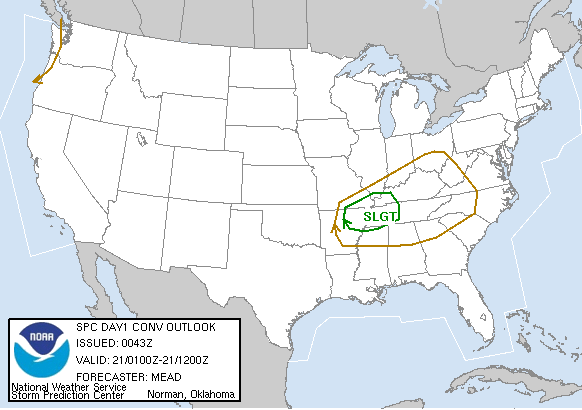
From http://spc.noaa.gov:
SBCAPES OF 600-700 J/KG AND VERY LITTLE CONVECTIVE INHIBITION
SBCAPE = Surface-based Convective Available Potential Energy; typically, the larger the number, the larger the risk of severe weather; however, CAPE > 400 can be significant in the right shearing environment. Assessed from a sounding, usually the positive area. Convective Inhibition (CIN) = negative area within a sounding; must be overcome ("the cap"); the smaller the amount, the better chance of convection (but, small amounts can allow parcels to explode through the positive area without inducing t'storms); usually, look for possible convection
UNDIRECTIONAL WIND FIELDS WITH 60-65 KTS OF 0-6 KM BULK SHEAR
0-6KM Bulk Shear = magnitude of shear between the two layers (surface and 6 km); >20 knots is significant and higher (>35) can indicate severity of the storm; however, no level of shear can accurately predict whether a supercell will be tornadic.
WITH 300-350 M2/S2 0-1 KM SRH
SRH = storm-relative helicity; vorticity, velocity, and relative storm-motion are calculated; >100 indicates supercell initiation, with higher levels (>200) may hint at possible tornado intensity.
posted by Jay Reid @ 9:59 PM
![]()
![]()

1 Comments:
Great explanation of the various measures.
~Dew
Post a Comment
<< Home